>Floodplain Inundation
Home » Research » Projects » Near-Census River Science » Floodplain Inundation

Floodplain Inundation

Participants

Gregory B. Pasternack, Tarick Abu-Aly, Rafael Rodriguez, Bobby L. Gonzalez, Dr. Piotr Cienciala

Background

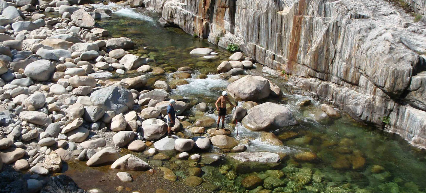
The spatially distributed effects of riparian vegetation on fluvial hydrodynamics during low flows to large floods are poorly documented. Conversely, once a floodplain does inundate, there is little known about the patterns of frequency-duration-magnitude of inundation.  Both of these problems require near-census investigation to address.

Hydraulic Roughness Challenge

Drawing on a LiDAR-derived, meter-scale resolution raster of vegetation canopy height as well as an existing algorithm to spatially distribute stagedependent channel roughness, this study developed a meter-scale 2D hydrodynamic model of ~28.3- km of a gravel/cobble-bed river corridor for flows ranging from 0.2-20 times bankfull discharge, both with and without spatially distributed vegetation roughness. Once the model and model results were in hand, they were used to answer a suite of scientific questions about overbank fluvial processes.

At the floodplain filling flow of 597.49 m3/s, adding spatially distributed vegetation roughness parameters caused 8.0 and 7.4 % increases in wetted area and mean depth, respectively, while mean velocity decreased 17.5%. Vegetation has a strong channelization effect on the flow, increasing the difference between mid-channel and bank velocities. It also diverted flow away from densely vegetated areas. On the floodplain, vegetation stands caused high-velocity preferential flow paths that were otherwise unaccounted for in the unvegetated model runs. For the river as a whole, as discharge increases, overall roughness increases as well, contrary to popular conception.

Inundation Frequency-Duration-Magnitude Challenge

In this research, we examined how floodplain inundation regimes in a dynamic, regulated, gravel-cobble river in Mediterranean-climate region are controlled by reach-scale valley morphology, hydroclimatic conditions, and flow regulation. To this end, we combined an extensive LiDAR dataset on topography and vegetation, long-term hydrological records, as well as the outputs of hydrological and two-dimensional hydraulic models. Our analysis showed that estimated relative differences in the extent, duration and cumulative duration of inundation events under different hydrological and geomorphic conditions we considered are often as large as an order of magnitude and generally greatest for large and long duration events. Moreover, the relative impact of flow regulation was greatest under dry hydroclimatic conditions. Although the effects of hydroclimate and flow impairment exceed the influence of valley floor topography, the latter controls sensitivity of floodplain hydroperiod to flow regime changes and should not be ignored. These quantitative estimates of the relative importance of factors that control floodplain processes in Mediterranean, semiarid rivers contributes to better understanding of hydrology and geomorphology of this important class of channels. We also highlight implications of our findings for processes that shape floodplain habitat for riparian vegetation and salmonid fish, especially in the context of ecological restoration.

Publications

  • Abu-Aly, T. R. 2012. Effects of LiDAR-derived, spatially-distributed vegetation 727 roughness on 2D hydraulics in a gravel-cobble river at flows of 0.2 to 20 times 728 bankfull. MS Thesis, University of California at Davis, Davis, CA.
  • Abu-Aly, T. R., Pasternack, G.B., Wyrick, J. R., Barker, R., Massa, D., Johnson, T. Submitted. Effects of LiDAR-derided, spatially-distributed vegetative roughness on 2D hydraulics in a gravel-cobble river at flows of 0.2 to 20 times bankfull. Geomorphology.
  • Cienciala, P., Pasternack, G. B. 2017. Floodplain inundation response to climate, valley form, and flow regulation on a gravel-bed river in a Mediterranean-climate region. Geomorphology, 282:1-17. doi:10.1016/j.geomorph.2017.01.006
>Floodplain Inundation
  • Home
  • About Me
  • Research
    • Scientific Highlights
    • Projects
      • Near-Census River Science
        • 2DMUs
        • Hydraulic Topography
        • Topographic Change Detection
        • Topographic Change Processes
        • Floodplain Inundation
        • Streamwood Storage
        • Upper South Yuba
        • Salmonid Migration
        • North Yuba River
        • Salmon Migratory Habitat
      • Geomorphic Covariance Structures
      • Synthetic River Valleys
      • Watershed Processes
        • Watershed Sediment Transport
        • Watershed Streamwood
        • Watershed Sedimentation
      • River Rehabilitation
        • Spawning Habitat Rehabilitation
        • Cobble/Gravel Injection
        • Streamwood Jams
        • Geomorphologist's Guide
      • Waterfalls
        • Horseshoe Falls
        • NSEAM 1.0
        • Hydraulic Jumps
        • Small Step Mapping
        • Small Step Hydraulics
      • Tidal Freshwater Deltas
        • TFD Introduction
        • TFD Vegetation
        • TFD Sediment Cycles
        • TFD Ecogeomorphology
        • TFD Hydrometeorology
        • TFD Sediment Transport
        • TFD Modeling
        • TFD Animal Response
        • Bush River, MD
        • Winter's Run, MD
      • Estuarine Processes
        • Salinas River Estuary
        • San Joaquin-Sacramento Delta
        • Blackwater National Wildlife Refuge
        • Long Island Sound
      • Functional Flows Model
      • Volcanic Lakes
        • VL Classification & Modeling
        • VL Bibliography
        • Keli Mutu
          • Remote Sampling Strategy
        • Lake Batur
        • Other Volcanic Lakes
      • Agricultural Sediment
      • Urban Rivers
      • Chaos in Hydrology
      • Channel Types
    • Methods
      • Net Sedimentation Tile (NST) Protocol
      • Sediment Core Processing Protocol
      • Vibracoring Protocol
      • Loss-On-Ignition Protocol
      • C-14 Sample Selection and Prep Protocol
      • Cation Sample Prep and Analysis Protocol
      • Grain Size Distirbution Protocol
      • MS Word Fig. code
      • Kite Blimp Method
      • Laser Granulometer Protocol
    • Software
      • River Builder
    • Sponsors
  • Teaching
    • SAS 004Y : Water in Popular Culture
      • Course Logistics
      • Sections
      • Syllabus
        • SAS004 Introduction
        • Water Scarcity
        • Water Scarcity Discussion
        • Floods
        • Flood Insurance Discussion
        • Water Quality
        • Water Quality Discussion
        • Water & Psychology
        • Water Psychology Discussion
        • Conquering Nature
        • Conquering Nature Discussion
        • Pro Poor Water
        • Pro Poor Water Discussion
        • Arctic Socio-Ecology
        • Indigenous Knowledge
        • Earth Stewardship
        • Earth Stewardship Discussion
        • Global Climate Change
        • Global Climate Change Discussion
        • Coastal Zone in Crisis
        • Coastal Zone Crisis Discussion
        • Course Review
      • Readings
      • Instructor
      • Classroom Behavior
      • Grading Policy
      • Movie Logs
      • Discussion Activities
      • Expository Essay
      • Study Guide
      • Online TA Help
    • ESM 125: River Conservation
      • Syllabus
        • River Conservation Introduction
        • Navigability For Title - Law
        • River Segmentation
        • Historical Hydrology
        • Indigenous River Conservation
        • Habitat Conservation Law
        • Aquatic Habitat
        • Riparian Habitat
        • Water Temperature
        • Sediment Sampling
        • Water Quality
        • CA State Water Boards
        • Biological Opinions
        • Setting Biological Goals
        • County-Level Water Management
        • River Restoration
        • Fish Passage & Fishways
        • Beaver-Assisted Restoration
        • Water Management Lessons
      • Instructor
      • Grading Policy
      • Readings
      • Exams
      • Individual Assignments
      • River Presentations
      • Video Response Canvas Quizzes
      • Reading Response Canvas Quizzes
    • HYD 143 : Ecohydrology
      • Instructor
      • Grading Policy
      • Syllabus
        • Chapter 1
        • Chapter 2
        • Chapter 3
        • Chapter 4
        • Chapter 5
        • Group Activity 1
        • Group Presentations 1
        • Chapter 6
        • Chapter 7
        • Chapter 8
        • Chapter 9
        • Group Activity 2
        • Group Presentations 2
        • Chapter 10
        • Chapter 11
        • Chapter 12
        • Chapter 13
        • Chapter 14
        • Chapter 15
        • Group Activity 3
        • Group Presentations 3
        • Chapter 16
        • Chapter 17
        • Chapter 18
        • Chapter 19
        • Chapter 20
        • Chapter 21
      • Online TA Help
      • Video Response Quizzes
      • Group Presentations
      • In-class Assignments
    • HYD 151 : Field Methods in Hydrology
      • Instructor
      • TA Info
      • Grading Policy
      • Syllabus
        • Chapter 21
        • Chapter 1
        • Chapter 2
        • Chapter 3
        • Chapter 4
        • Assignment 1
        • Chapter 5
        • Chapter 6
        • Assignment 2
        • Chapter 7
        • Chapter 8
        • Chapter 9
        • Assignment 3
        • Chapter 10
        • Chapter 12
        • Chapter 11
        • Chapter 13
        • Chapter 14
        • Assignment 4
        • Chapter 15
        • Chapter 16
        • Chapter 16b
        • Chapter 17
        • Field Equipment Showcase
        • Chapter 18
        • Chapter 19
        • Chapter 20
        • Chapter 22
        • Chapter 23
        • Chapter 24
        • Course Review
      • Readings
      • Online TA Help
      • Field Safety
    • HYD 252: Hillslope Geomorphology and Sediment Budgets
      • Instructor
      • Grading Policy
      • Syllabus
        • Week 1
        • Week 2
        • Week 3
        • Week 5
        • Week 6
        • Week 7
        • Week 8
        • Week 9
        • Week 10
        • Week 4
      • Readings
      • Safety
    • HYD 254Y: Ecohydraulics
      • Instructor
      • Grading Policy
      • Syllabus
        • Introduction to Near-Census River Science
        • Introduction to 2D Modeling
        • 2D Modeling Training
        • 2D modeling discussion & synthesis
        • 2D Modeling Terrain Variability
        • 2D Model Validation
        • Fluvial Landform Assessment
        • Ecological Analysis of Structure and Function
        • Hydrogeomorphic Processes
        • Parameterizing Boundary Roughness
        • Frontiers of River Science
      • Readings
      • Online TA Help
      • Lab Tutorials
    • HYD 256: Geomorphology of Estuaries and Deltas
      • Syllabus
        • Week 1
        • Week 2
        • Week 3
        • Week 4
        • Week 5
        • Week 6
        • Week 7
        • Week 8
        • Week 9
        • Week 10
      • Readings
      • Lab
      • Field Safety
      • Online TA Help
      • Grading Policy
    • Virtual River Methods
      • Syllabus
      • Instructor
      • Grading Policy
      • Readings
      • Assignments
      • Game Setup
  • People
    • MS Students
    • PhD Students
    • Postdocs
    • Committee Advisees
    • Technicians
    • Undergrads
    • Visitors
    • Collaborators
    • Furry Friends
  • Info for Applicants
  • Service
    • Past Service
    • Professional Service
  • Outreach
  • Curriculum Vitae

GET IN TOUCH

  • 223 Veihmeyer Hall
    LAWR Dept., UC Davis
    One Shields Avenue
    Davis, CA 95616
  • (530) 302-5658
  • (530) 752-1552
  • gpast@ucdavis.edu
  • Google Scholar
  • Research Gate
  • ORCID: 0000-0002-1977-4175
  • Dr. Gregory B. Pasternack - Watershed Hydrology, Geomorphology, and Ecohydraulics
UC Davis