
Near-Census River Science
Participants
Gregory B. Pasternack, Joshua R. Wyrick, Anne E. Senter, Denise Tu, Leah Kammel, Bobby Gonzalez, Michael Strom, Rocko Brown, Jason Wiener, Pete Moniz, Arielle Gervasi, Sean Luis
Background
Modern science is based on the paradigm of sampling. By carefully selecting the right objects/places/units to sample and then measuring them just the right way, scientists have made dramatic leaps in human understanding. However, many time scientists have not selected objects/places/units properly and have not measured them correctly- or different groups do enough things differently and fail to document their procedures thoroughly and transparently, such that the wrong conclusions are drawn form individual studies and across many studies. Even worse, sampling only enables statistical answers to questions, whereas many problems require spatial or analytical answers where each data point is not independent or identically distributed. Many phenomena are nonstationary. We have reached the point in history where the paradigm of sampling must give way to the next way forward, and that way is "near-census" science. Near-census river science is a comprehensive, spatially explicit, process-based paradigm for studying rivers emphasizing the 1-m scale as the basic building block for characterizing geomorphic processes and ecological functions. By eliminating all the decisions that go into sample selection upfront, it is possible to analyze the totality of a landscape in fine detail with no compromises. This is the vision that we are developing in the Pasternack Lab.
Several more near-census river science projects are on-going and have not been added to this website yet.
Near-Census Projects
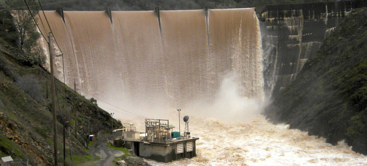
The near-census river science projects our group has worked on have either been done in partially confined gravel-cobble bed rivers and confined remote moutain rivers with a mix of bedrock and alluvium. The projects below are divided into these two groupings.
Partially Confined and Unconfined Gravel-Cobble River Science
The projects listed below addressed rivers in partial confined to unconfined valleys.
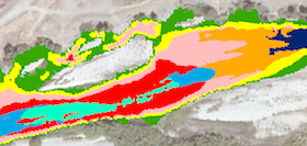
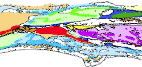
Fluvial Landforms
Comprehensive, spatially explicit patterns of river landforms.
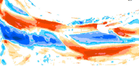
Hydraulic Topography
Classic method of landform analysis re-envisioned for the 21st century using near-census data and methods.
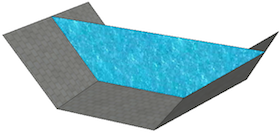
Floodplain Inundation
Comprehensive, spatially explicit patterns of overbank hydraulics
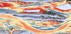
Topographic Change Detection
Comprehensive, spatially explicit patterns of topographic change.
Topographic Change Processes
Comprehensive, spatially explicit patterns of fluvial processes.
Salmon Migratory Habitat
Confined Mountain Rivers
The project listed below addressed near-census river science in confined mountain rivers.
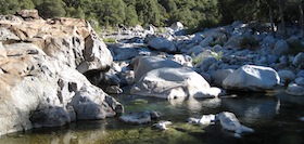
Upper South Yuba Study
Comprehensive, spatially explicit analysis of fluvial landforms, processes, and habitats in the mountains.
North Yuba Study
Comprehensive, spatially explicit analysis of landforms, processes, habitats, and hydromorphic-ecological function linkages in the mountains.
