Winter's Run, MD
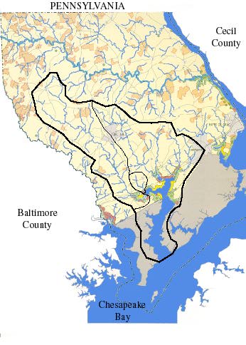
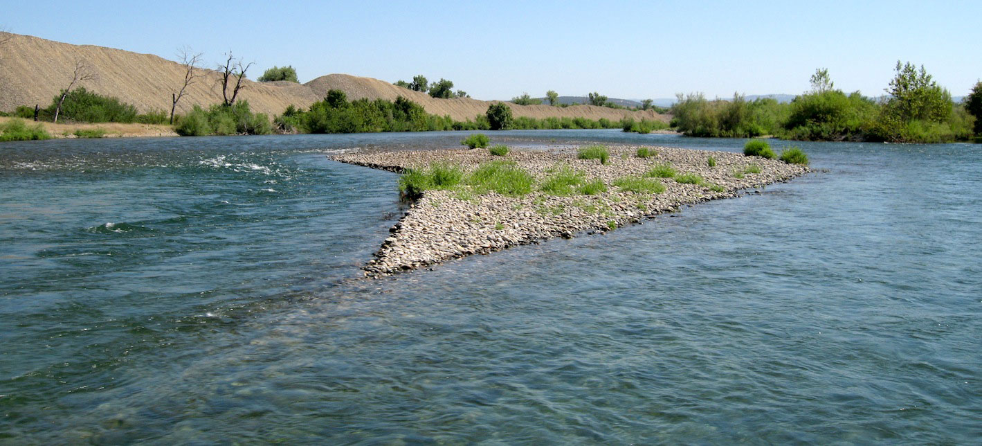
Above the Route 40 bridge Otter Point Creek becomes Winters Run. Winters Run is a sizable stream that flows out of the piedmont (700' amsl) via its northern branch, winds through five USGS 7' quadrangle regions with an average slope of 0.0061, and drains a total area of 58 square miles (Teitz, 1993). The upper Winters Run watershed is generally rural, while the middle and lower watershed areas are undergoing rapid development. A USGS stream gage in Bel Air (10 miles upstream from the OPC marshes) has been operating since 1968. The maximum recorded flow (3000 cfs) occurred in June 1972 during Hurricane Agnes. Today, two dams on Winters Run impede flow and attenuate storm runoff. However, both have had their capacities reduced by more than 90% due to reservoir sedimentation (Teitz, 1993).
References:
Tietze, W., 1993, Modeling the physical processes of flow through a logjam: Master's thesis, Johns Hopkins University.


