
Topographic Change Processes
Participants
Gregory B. Pasternack, Joshua R. Wyrick, and Arielle Gervasi
Background
Quantification of changes in river corridor morphology provides a means for monitoring rates and directions of landform change as well as analyzing fluvial sediment budgets relevant to ecosystem services. Geomorphic change analyses for a river valley are often used in determination of whether the study area is “self-maintaining” or not. Self-maintenance occurs when a disturbance event (i.e., flood, fire, landslide, etc.) occurs and causes abrupt changes to the river, but that the abundance and distribution of landforms remains similar before and after each disturbance, even if exact locations and sizes have changed.
Purpose
To develop and illustrate a near-census approach to quantifying topographic change processes (TCPs), and then use this approach to reveal novel basic science about fluvial geomorphology. Develop a decision tree to make TCP classification semi-objective and use this tree to delineate TCPs based on changes over different time epochs. Lastly, calculate the magnitude of TCPs at different scales to reveal abundance, spatial patterns, depths, and volumes of change in the Lower Yuba River, CA (LYR).
Methods
Digital elevation models (DEMs) of ~21 miles of the LYR were used to calculate high resolution (sub-meter) topographic changes over multiple periods of time, ranging from 6-9 years and stratified across multiple spatial scales (i.e., segment, reach, and morphologic unit). The procedure used to analyze the topographic changes involved differencing the two DEMs, determining regions of net scour and net fill, and classifying those changes by specific processes. The processes by which topographic changes occurred were delineated with a semi-objective methodology that invoked the locations of those changes as they related to the locations of specific valley characteristics, such as: wetted areas of the channel for both surveys, mid-channel islands, vegetation, morphological units, and sediment type.
Sample DEM difference map
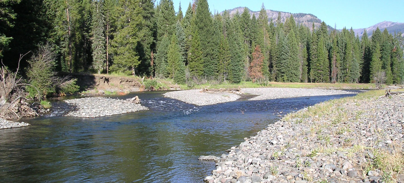
The map below is from a section of Timbuctoo Bend on the lower Yuba River, CA.

Sample map for stratifying scour and fill areas into potential process domains
The map below is from a section of Timbuctoo Bend on the lower Yuba River, CA.

Decision tree used for delineation of TCPs
The workflow below shows the decision tree that results in different topographic change processes.

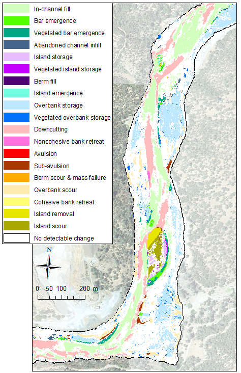
Sample TCP Map
The map below is from a section of Timbuctoo Bend on the lower Yuba River, CA.
Publications
- Wyrick, J. R., Pasternack, G. B., 2014. Topographic Changes in the Lower Yuba River, 1999-2008: revised final report. Prepared for the Yuba Accord River Management Team. University of California at Davis, Davis, CA, 61pp.
- Wyrick, J. R., Pasternack, G. B. 2015. Revealing the natural complexity of topographic change processes through repeat surveys and decision-tree classification. Earth Surface Processes and Landforms, 41 (6) 723-737. doi: 10.1002/esp.3854.
