
Watershed Sedimentation
Introduction
Small rivers in tectonically active regions deliver a disproportionate amount of sediment to the oceans relative to the area they drain (Milliman and Syvitski, 1992). The abundant sediment deposited at the mouths of mountainous streams provides an unique opportunity to infer the primary controls on basin evolution (Wheatcroft et al., 1996; Wheatcroft et al., 1997). Although the sedimentary record at the mouths of small, mountainous streams is extensive, the majority of sediment carried by them is deposited upstream from the basin mouth (Trimble, 1977; Ichim, 1990; Milliman and Syvitski, 1992; Mertes and Warrick, 2001). As a result, many studies now focus on floodplain sedimentation as a means of determining geomorphic response to environmental change (Assleman and Middelkoop, 1995; Walling et al., 1997; Goodbred and Kuehl, 1998). Current methods used to determine rates of floodplain sedimentation, however, do not provide high-resolution data over varying time scales necessary to understand the importance of anthropogenic effects on the landscape, especially in relation to climate and tectonics.
Furthermore, simply measuring rates of overbank sedimentation on any particular floodplain may not be enough to understand the relationship between sediment storage and environmental change in a small, mountainous catchment. In general, sediment yield increases with decreasing stream order (Trimble, 1977; Ichim, 1990) and the differences in sediment yield across stream orders may result in different responses to environmental change across the watershed (Graf, 1983). As a result of the spatial variances in sediment yield, it can be expected that rates of overbank deposition on floodplains adjacent to different stream orders will be different as well. Although some studies (Walling et al., 1996; Walling and He, 1998) found no significant longitudinal trend in overbank deposition rates, examining changes in sedimentation as a function of stream order may provide insight into the variability of subbasin response to environmental change.
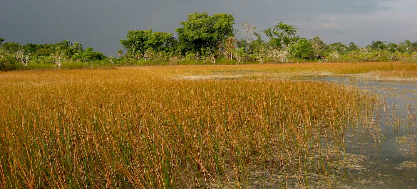
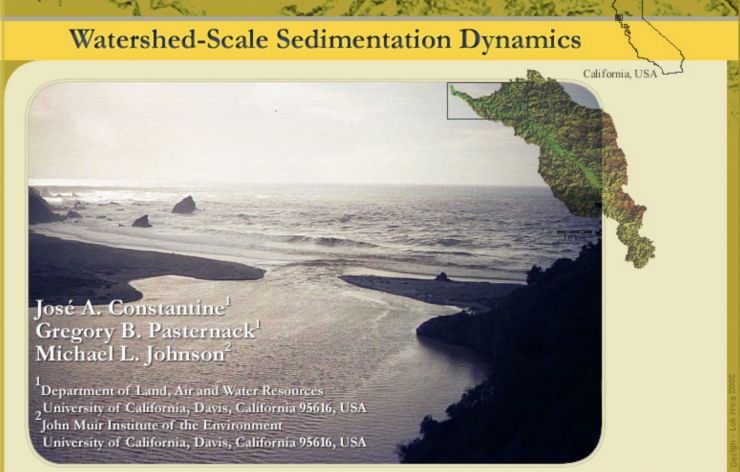
This web site is meant to provide an overview of a three-year study of the sedimentation dynamics of the Navarro watershed of Northern California (Fig. 1). Our goal was to determine the controls of floodplain sedimentation and to use that understanding to generate insight of the role that anthropogenic effects have on basin evolution in context of climate and tectonics. Located adjacent to the San Andreas fault system, the watershed provides a great opportunity to examine the role of tectonics in controlling basin sediment yield. The highly detailed anthropogenic history also provides a framework from which to examine how different forms of land-use influence sedimentation patterns. Study of the Navarro watershed is particularly important because it represents the southernmost extent of natural spawning ground for the endangered coho salmon (Oncorhynchus kisutch). Intensive land use and the highly erodible nature of the underlying Franciscan Complex have led the Environmental Protection Agency to establish strict sediment regulations for the Navarro basin in an effort to protect coho salmon and the threatened steelhead trout (Oncorhynchus mykiss).
For the purpose of this web site, our investigation is divided into three separate parts. Each part is meant to provide greater detail into the questions we examined and the methods employed in an attempt to answer them.
Background Literature
Here are some classic articles on this topic:
- Asselman NEM and Middelkoop H. 1995. Floodplain sedimentation: quantities, patterns and processes. Earth Surface Processes and Landforms 20: 481-499.
- Goodbred SL and Kuehl SA. 1998. Floodplain processes in the Bengal Basin and the storage of Ganges-Brahmaputra river sediment: an accretion study using 137Cs and 210Pb geochronology. Sedimentary Geology 121: 239-258.
- Graf WL. 1983. Variability of sediment removal in a semiarid watershed. Water Resources Research 19(3): 643-652.
- Ichim I. 1990. The relationship between sediment delivery ratio and stream order; a Romanian case study. In Erosion, Transport, and Deposition Processes, Walling DE, Yair A, Berkowicz S (eds). IAHS-AISH Publication 189: 79-86.
- Mertes LAK and Warrick JA. 2001. Measuring flood output from 110 coastal watersheds in California with field measurements and SeaWiFS. Geology 29(7): 659-662.
- Milliman JD and Syvitski JPM. 1992. Geomorphic/tectonic control of sediment discharge to the ocean: the importance of small mountainous rivers. The Journal of Geology 100: 525-544.
- Trimble SW. 1977. The fallacy of stream equilibrium in contemporary denudation studies. American Journal of Science 277: 876-887.
- Walling DE, He Q, Nicholas AP. 1996. Floodplains as suspended sediment sinks. In Floodplain Processes, Anderson MG, Walling DE, Bates PD (eds). Wiley: Chichester; 399-440.
- Walling DE, Owens PN, Leeks GJL. 1997. The characteristics of overbank deposits associated with a major flood event in the catchment of the River Ouse, Yorkshire, UK. Catena 31: 53-75.
- Walling DE and He Q. 1998. The spatial variability of overbank sedimentation on river floodplains. Geomorphology 24: 209-223.
- Wheatcroft RA, Borgeld JC, Born RS, Drake DE, Leithold EL, Nittrouer CA, Sommerfield CK. 1996. The anatomy of an oceanic flood deposit. Oceanography 9(3): 158-162.
- Wheatcroft RA, Sommerfield CK, Drake DE, Borgeld JC, Nittrouer CA. 1997. Rapid and widespread dispersal of flood sediment on the northern California margin. Geology 25(2): 163-166.
Part 1: Long-term floodplain evolution
A manuscript discussing the details of the questions addressed in Part 1 was published as Constantine, J. A., Pasternack, G. B., and Johnson, M. B. 2003. Floodplain Evolution in a Small, Tectonically Active Basin of Northern California. Earth Surface Processes and Landforms 28:869-888. https://doi.org/10.1002/esp.510.
Questions examined:
- What is the long-term (0 to 5000 ybp) overbank-deposition history of Navarro floodplains?
- How do the histories of overbank deposition at each floodplain compare as a function of stream-order association?
- What has been the impact of land-use change on long-term basin evolution in relation to climate and tectonics?
In order to answer these questions, four sediment cores were collected using two different technologies suitable for the field conditions. Three cores were collected from floodplain sites located on outer meanders of the Navarro River and the North Fork using a Geoprobe 66DT drill-rig at sites NRWS-03 (1063 cm depth), NRWS-02 (1644 cm depth), and NRWS-04 (1383 cm depth). The Geoprobe 66DT collects a 5.08-cm diameter sediment core in discontiguous 122-cm sections within a protected outer casing that maintains the hole throughout the coring process. Because the Geoprobe was limited to accessible sites, the floodplain wetland at the mouth of Flynn Creek (site NRWS-09) was cored using a portable vibracorer. A single 7.62-cm diameter core was collected using an aluminum tube to a depth of 345 cm.
All cores were analyzed using a standard protocol based on existing literature. Cores were opened in the laboratory and given standard stratigraphic examination for color, grain size, texture, and visible mineralogy. Cores were subsampled at 5-cm intervals for Geoprobe-collected cores and 3-cm intervals for the vibracorer-collected core. Bulk density was determined by weighing the known volume of the cylindrical sediment samples. Each subsample was then homogenized and stored in a temperature-controlled environment at 4°C.
Part 2: Logging impacts observed in high-resolution overbank deposition
A manuscript discussing the details of the questions addressed in Part 2 was published as Constantine, J. A., Pasternack, G. B., and Johnson, M. B. 2005. Logging effects on sediment flux observed in a pollen-based record of overbank deposition. Earth Surface Processes and Landforms 30:813-821. https://doi.org/10.1002/esp.1190.
Questions examined:
- What is the high-resolution overbank deposition history of the floodplain study site (NRWS-09) in the Flynn Creek catchment over the past 1000 ybp?
- How has the history of logging in the Flynn Creek catchment affected sediment production and transport?
- How has the forest structure in the catchment changed as a result of periodic logging events?
- Can a high-resolution overbank-deposition record imply the importance of anthropogenic controls on basin evolution over annual to centennial time scales?
Because current methods used to determine floodplain sedimentation rates do not provide the high-resolution data necessary to understand the importance of anthropogenic effects on the landscape, we sought to uniquely apply a palynological approach to build the data set needed to understand the effects of logging on the Flynn Creek catchment. Historically, land use in the Flynn Creek basin was dominated by logging activities, which principally targeted Sequoia stands. Although the extent of the first period of logging, which began in the 1850's (Palmer, 1967; Holmes, 1996), is unclear, photographs document that a second period of logging and a 1931 wildfire completely deforested the basin by 1936 and that a third-generation forest developed by 1998.
To create the high-resolution data set, we used the radiocarbon dates described in Part 1 and analyzed sediment samples for pollen and spore content (Faegri and Iverson, 1975). Next, we employed the pollen dating equations of Dr. Grace Brush (Brush, 1984, 1989) to obtain high-resolution chronological dating. his technique has proved very successful in comparison with the Pb-based approach of determining sedimentation rates (Brush et al., 1982) and subsequently in inverse modeling of land-use change based on deltaic sedimentation (Pasternack et al., 2001).
References:
- Brush GS. 1984. Patterns of recent sediment accumulation in Chesapeake Bay (Virginia-Maryland U.S.A.) tributaries. Chemical Geology 44: 227-242.
- Brush GS. 1989. Rates and patterns of estuarine sediment accumulation. Limnol. Oceanogr. 34: 1235- 1246.
- Brush GS, Martin E, DeFries RS, Rice CA. 1982. Comparisons of 210Pb and pollen methods for
- determining rates of estuarine sediment accumulation. Quaternary Research 18: 196-217.
- Faegri, K. & Iverson, J. Textbook of Pollen Analysis (Hafner Publishing Co., New York, 1975).
- Holmes, A. in Mills of Mendocino County: a record of the timber industry, 1852-1966. (eds. Holmes, A.
- & Lawson, W.) (Mendocino County Historical Society, Ukiah, 1996).
- Palmer, L. History of Mendocino County, California, comprising its geography, geology, topography,
- climatology, springs and timber (Mendocino County Historical Society, Ukiah, 1967).
- Pasternack GB, Brush GS, Hilgartner WB. 2001. Impact of historic land-use change on sediment delivery
- to a Chesapeake Bay subestuarine delta. Earth Surface Processes and Landforms 26: 409-427.
Part 3: Mulit-proxy analysis of basin evolution in a small, mountainous catchment
A third set of scientific questions was examined, but not written up to be published in a peer-revidwed journal for lack of time.
Questions examined:
- How can the pollen spectrum through the past 1000 ybp help us determine how the Flynn Creek basin has evolved as a result of climatic and land-use change?
- Can floodplain-sediment geochemistry aid in the understanding of the controls on sediment source changes?
- Can a multi-proxy analysis of floodplain sediment provide a useful means of determining the sensitivity of a basin to land-use change and thus aid land-management strategies?
Results were described in an AGU presentation, Constantine, J. A., Pasternack, G. B. , Viers, J. H., Feliciano, J. B. 2001. A Multi-Proxy Approach to Examining Land-Use Change Effects on Steelhead Trout and Coho Salmon in NW California. EOS, Transactions of the American Geophysical Union 82:20:S85.
